- Residential & Rural
- Investors & Land Developers
- Construction & Setout
- Corporate & Local Government
4
We really have been so much more than a bloke with a theodolite for some time now.
RPC Land Surveyors has a long & proud history of surveying, beginning in 1970 when John Rainford moved to Whakatane and purchased an existing small survey practice. Fourteen years later he employed Peter Crane as a graduate surveyor from Otago University Survey School.
Peter is now a Director of RPC, based in the Mount Maunganui office and, together with his fellow Directors, continues to drive the specialist, high quality outcomes for Clients which remain the cornerstone of the firm’s philosophy.
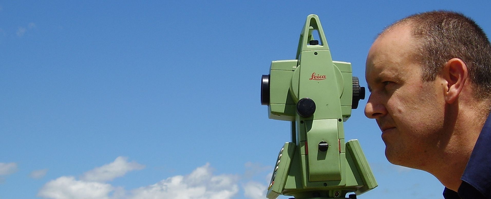
One way that we have always tried to deliver the best outcomes for clients has been in the area of technology. We have always tried to keep at the forefront of changes in technology and were one of the first survey firms to become computerised and invest in a computer and survey software – a significant investment at the time but key to our ongoing commitment to being “so much more than a bloke with a theodolite”!
But we didn’t stop there! Next came our investment in one of the first electronic Total Station theodolites to allow us to move from using an optical theodolite and steel band. We have always believed that we have the best staff and they are committed to working with the best technology in order to ensure accuracy and efficiency and that commitment will continue into the future.
In 1987 we were right in the middle of the Edgecumbe earthquake of March 1987. The Whakatane office survived the quake and staff were involved for several months in the rebuild of the Tasman Pulp and Paper Company in Kawerau and the reestablishment of survey control in the Eastern Bay of Plenty.
We have had a long association with Tasman Pulp and Paper Company (now Norske Skog Tasman). We’ve been involved with work in and around the mill site and working long hours on the paper machines during shutdowns. This involved working 12hour shifts in confined, hot and challenging environments completing very precise surveys, always with the pressure of time and deadlines.
More recently, we completed a full survey of the Rangitaiki river from the Matahina Dam to the coast obtaining stopbank information and river cross sections. This involved working from jet boats up and down the river at some hair raising speeds.
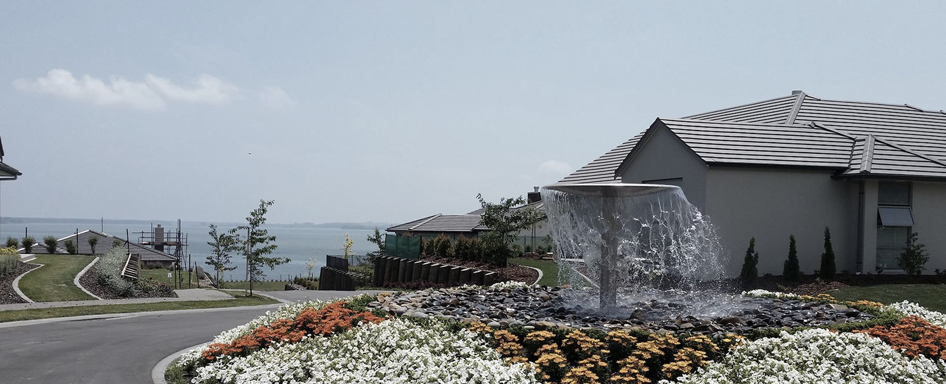
Today, we continue to work with a wide range of clients, from individuals to corporations, with widely differing needs. Our commitment continues to be to bring knowledge, expertise and perspective to help our clients ensure that their wider land development objectives are effectively met.