



Faction Land Surveying
Land Surveyors

About us
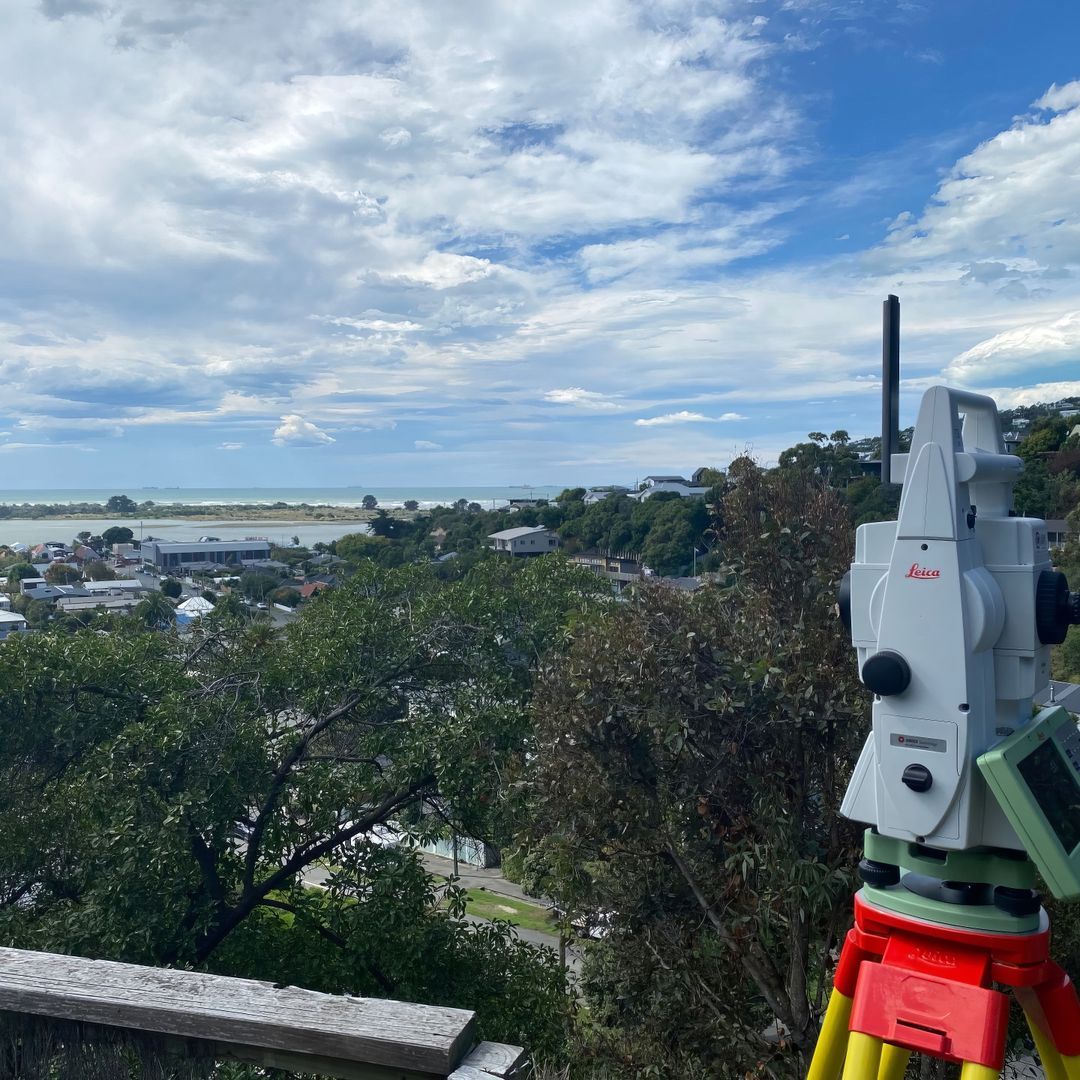
Founded by Licensed Cadastral Surveyor Boyd Thomson in February 2023, Faction was created to fill a gap in the surveying profession.
Boyd recognized that many land surveying companies were slow, inefficient, and lacking in customer service, which often left clients frustrated and dissatisfied. He believed that there was a better way to provide land surveying services – one that focused on collaboration, innovation, and excellence.
Boyd's vision was to create a company that worked smarter, faster, and better than the competition, ultimately providing clients with a higher level of satisfaction. He chose the name Faction to reflect the company's commitment to teamwork and collaboration. At Faction, everyone works together towards a common goal – providing accurate and reliable professional services that meet the unique needs of each client.
At Faction, we're passionate about land surveying, and we're committed to using our expertise to help clients achieve their goals. Whether you're a property owner or developer, an architect or builder, a contractor or consultant, a landlord or tenant, residential or commerical, urban or rural, we're here to provide the accurate, reliable, and personalised land surveying services you need.
Role of Land Surveyors
Land surveying is a crucial aspect of property rights that underpin society in many ways. It involves the measurement and mapping of land boundaries, natural features, and topography to provide accurate information about land ownership and title boundaries. Licensed Cadastral Surveyors help to establish and protect property rights by defining title boundaries and ensuring that they are respected and adhered to.
One of the main reasons why land surveying is important is that it helps to prevent conflicts over land ownership. By accurately determining the title boundaries of a property, surveyors can help to resolve disputes between neighbours, and prevent encroachments on private property. This is especially important in densely populated areas where land is scarce and disputes over property boundaries are more likely to occur.
Another reason why land surveying is important is that it helps to ensure that property owners are not deprived of their property rights. By accurately mapping property title boundaries, licensed cadastral surveyors can help to prevent individuals or organisations from taking land without just compensation. This is especially important in cases where governments or other entities seek to acquire land for public use, such as for roads, reserves, or other public works projects.
Moreover, land surveying is essential for property owners who wish to develop their land or make changes to their property. By providing accurate information about the size and shape of a property, Licensed Cadastral Surveyors can help owners to avoid costly mistakes in construction or development. They can also ensure that buildings are properly situated within title boundaries and that they do not encroach on neighbouring properties.
In summary, land surveying is an essential component of property rights that underpin society. It helps to prevent conflicts over land ownership, protects property rights, and facilitates property development. Without accurate land surveying, property ownership and use can become uncertain, leading to disputes, litigation, and economic inefficiencies.
Resource Management Planning
We offer the following consent application services:
- Fee simple subdivision consent applications, including vacant lot, infill, boundary adjustments and conversion of tenure, i.e. unit title or cross lease to freehold.
- Cross lease updates
- Unit Title subdivision consent applications
- Right of Way approvals (s348 LGA 1974)
Land Surveying
If you need several of the following services, we can bundle them together to save you time and money:
- Topographic Surveys - levels & features
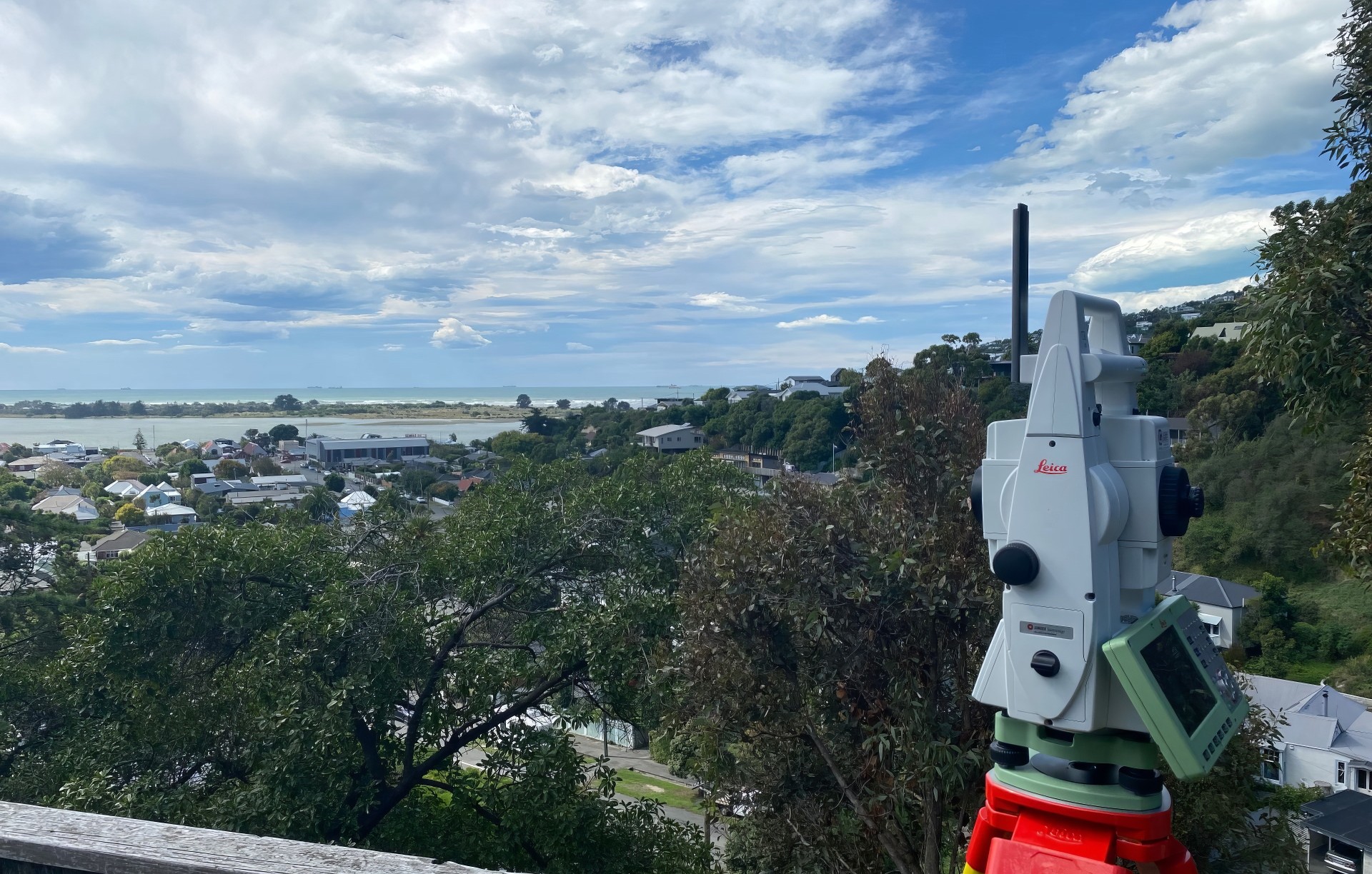
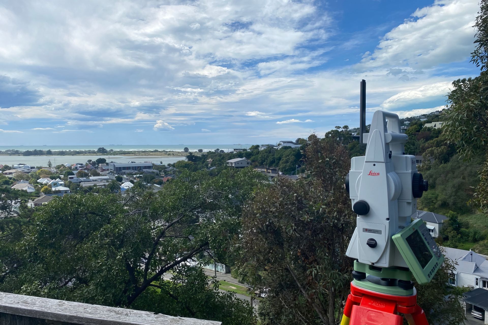
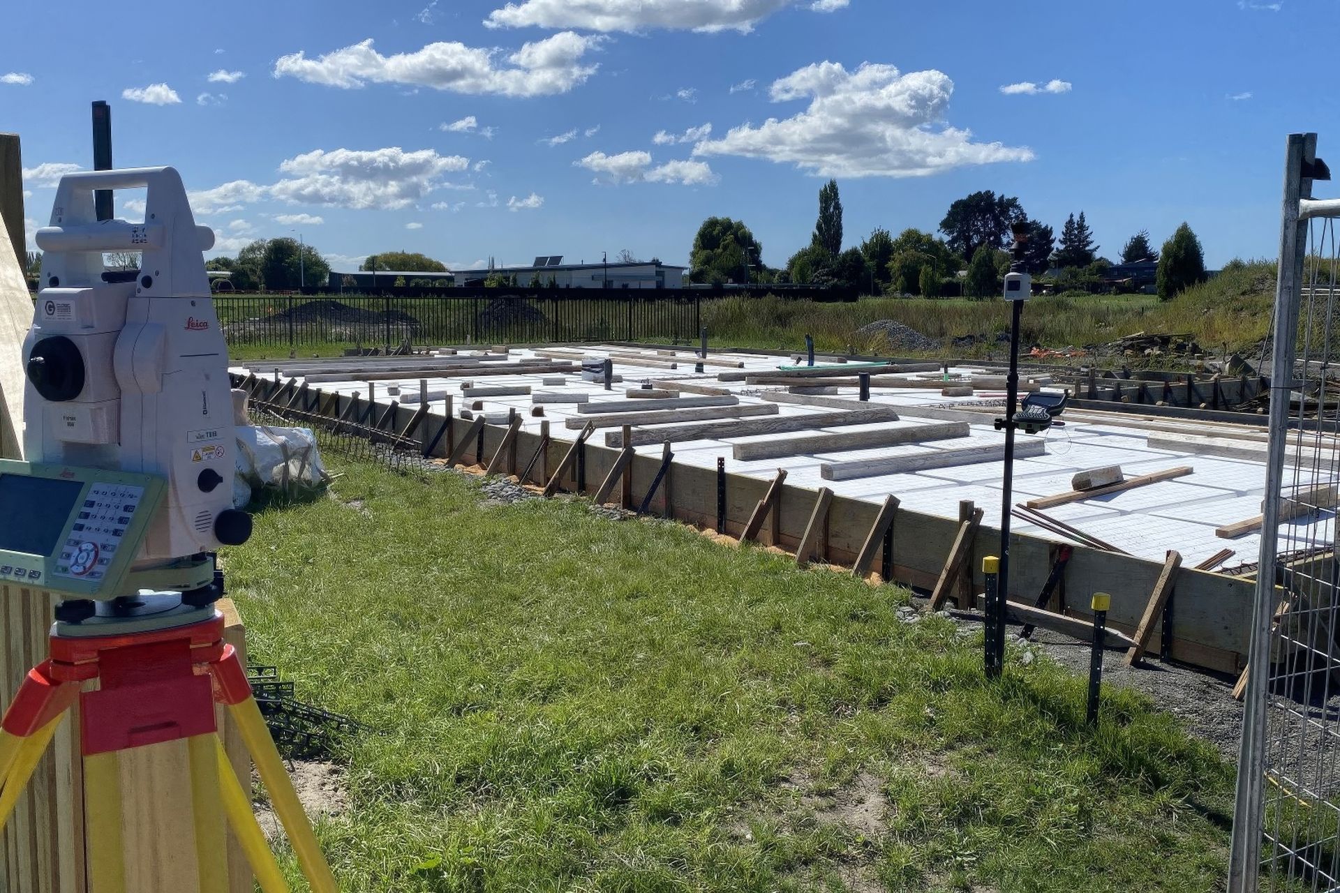
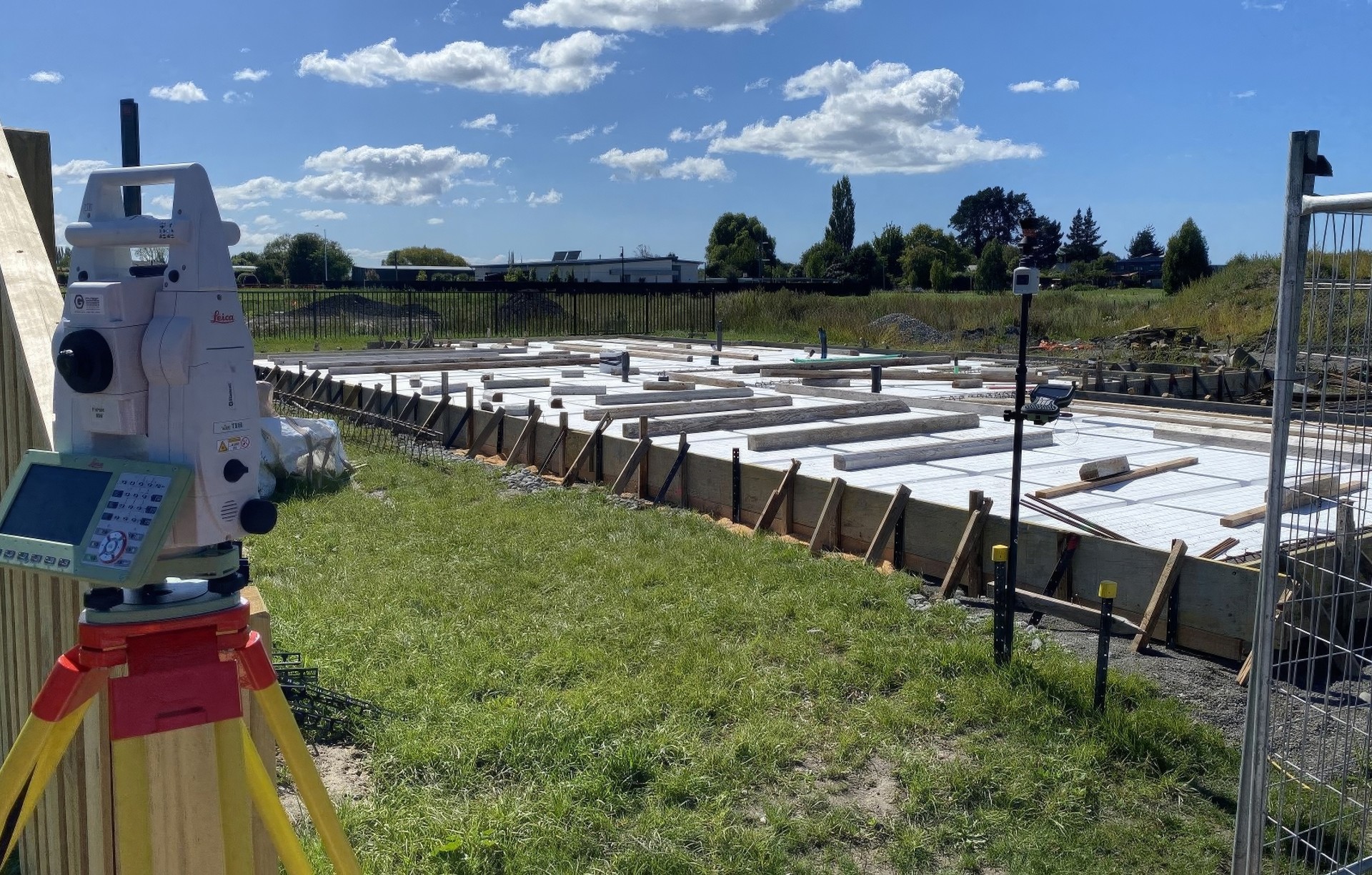
- Construction Surveys - setouts, as-builts, volumes, building compliance checks such as Building Location Certificates (BLC) & Height in Relation to Boundary (HIRB)
- Subdivisions - fee simple, unit title, boundary adjustment, conversion of tenure, cross lease updates
- Cadastral Surveys - amalgamations, boundary reinstatements, legalisations, removal of limitations (redefinitions)
- Rentable Area Surveys - previously known as 'BOMA' surveys
- Deformation Surveys - floor levels, ceiling levels, wall verticality etc
- Monitoring Surveys - deformation of structures, erosion and settlement of ground
Consulting
We offer a wide range of consulting services from general survey related advice through to appearing in court as an expert witness:
- Pre-purchase (survey related) due diligence
- Project feasibility - land / infill development
- Subdivision concept and scheme plan design
- Boundary disputes
- Expert evidence
Locations we service
Get in touch
Business details
- Category:
- Land Surveyors
- Business focus:
- Residential & Commercial
- Verified ArchiPro member since:
- 2024
Reviews about
Faction Land Surveying
Professional Reviews