About
Kate Valley GIS.
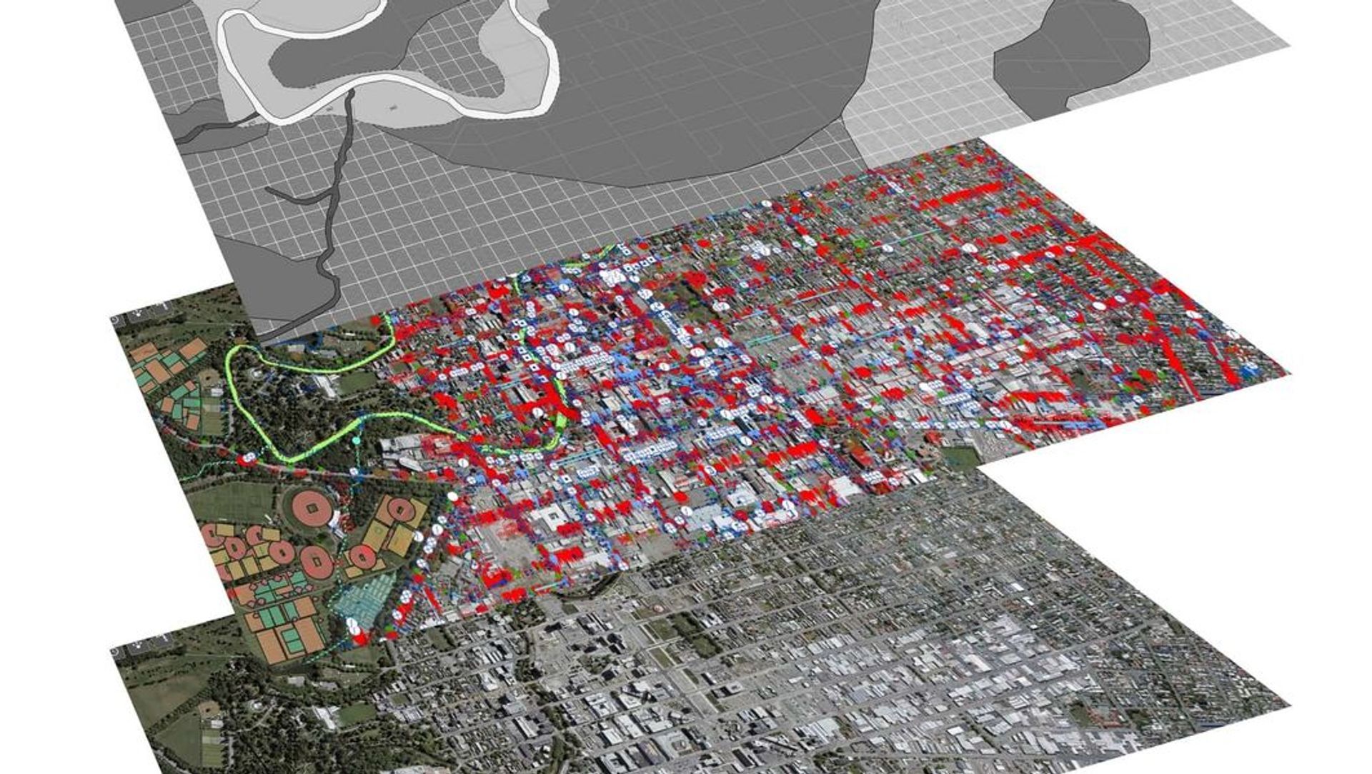
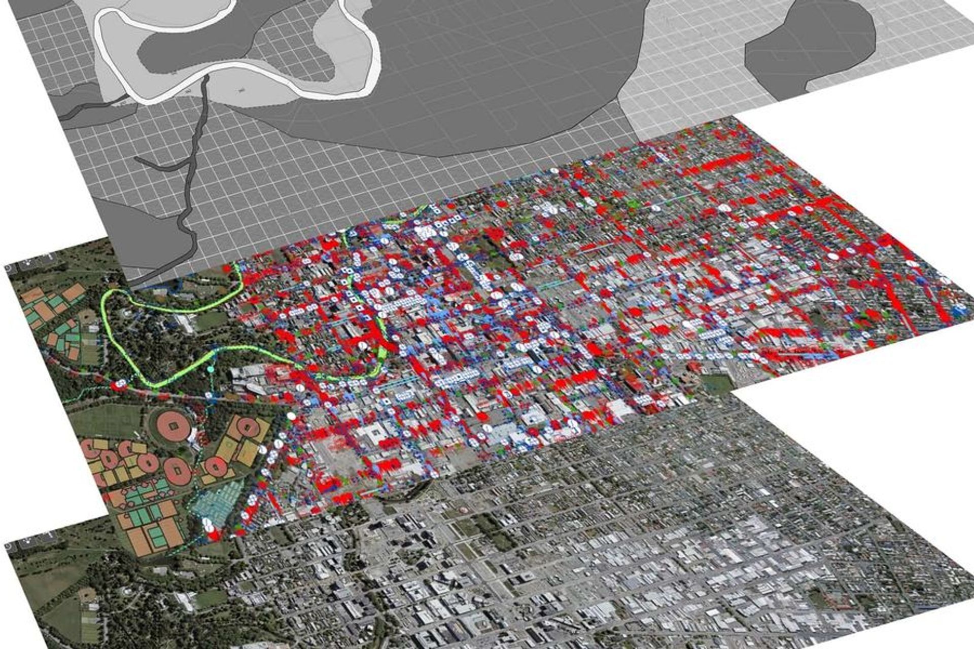
ArchiPro Project Summary - Comprehensive GIS solution for Kate Valley Landfill, integrating historical and digital data to enhance accessibility and usability for property management and record-keeping.
- Title:
- Kate Valley GIS
- Civil Engineer:
- Eliot Sinclair
- Category:
- Commercial/Landscapes
Project Gallery

Inspired by this project?Visit Eliot Sinclair

Eliot Sinclair. Delivering Smarter Project Outcomes. Eliot Sinclair is a team of land and site development consultants. We’ve earned a reputation as a trusted partner capable of delivering numerous residential, industrial and commercial land developments, and construction projects of any size or complexity.
Tap into the power of many talented surveyors, planners and engineers working together. Whether you need our services in isolation or as an efficient integrated partnership we have the ability to scale our integrated approach to match our client’s needs. With a long-standing connection to Canterbury and a South Island-wide client base, we bring decades of knowledge and experience to your project.
Year Joined
2020
Established presence on ArchiPro.
Projects Listed
11
A portfolio of work to explore.
Eliot Sinclair.
Profile
Projects
Contact
Project Portfolio


