

3D Streetscape Point Cloud provides medium-resolution, colourised 3D point cloud data captured via LiDAR, ideal for architects and developers, with over 1,300km² available across major Australian cities, streamlining workflows and enhancing project accuracy.
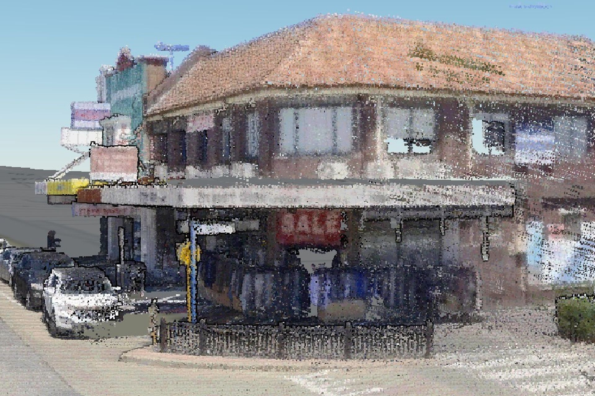
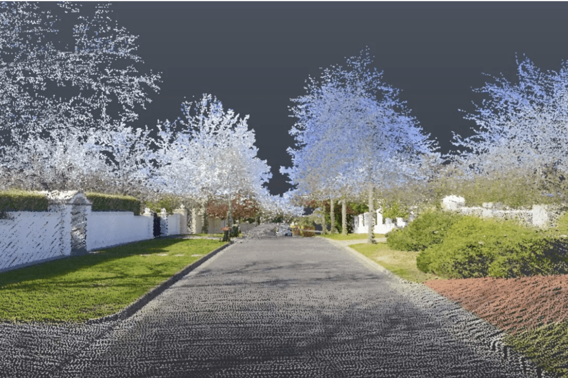
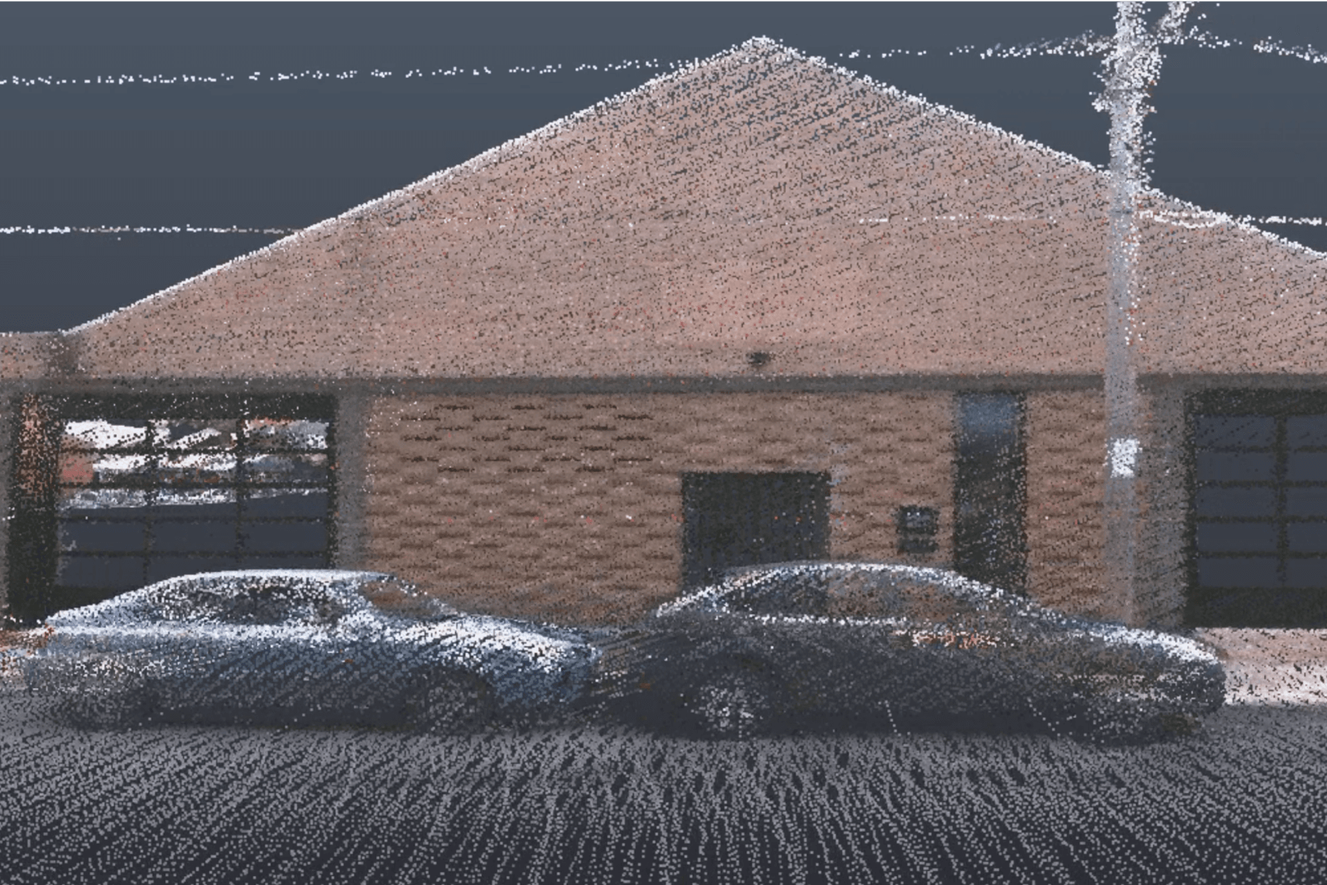
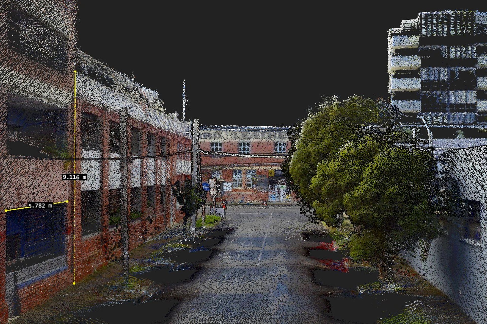
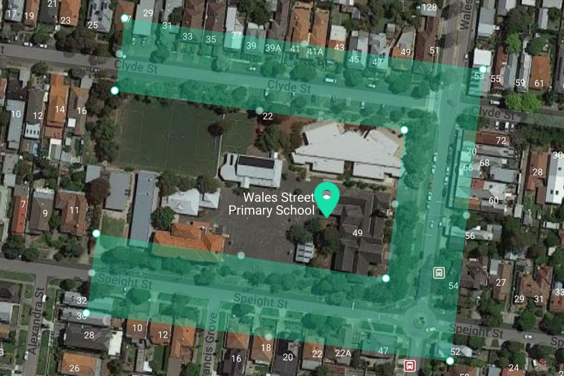
The 3D Streetscape Point Cloud offers medium-resolution, colourised 3D point cloud data, captured from a 3D laser scanner (LiDAR) mounted on a car to provide detailed front facades and features from the street.
It is ideal for architects, authorities, engineers, builders, trades, and property developers. This type of data is one of our most affordable, convenient, and fast, with prices starting from $165, and delivery within ~1 hour.
Get a better understanding with higher more accurate detail on fences, setbacks, signage, front facades, crossovers, power lines, bike paths, 5G, store fronts and clearances.
Using the 3D Streetscape Point Cloud data can reduce the need for site measure-ups, costly rework of designs due to errors in 2D surveys, and costly delays providing further information due to lack of data.
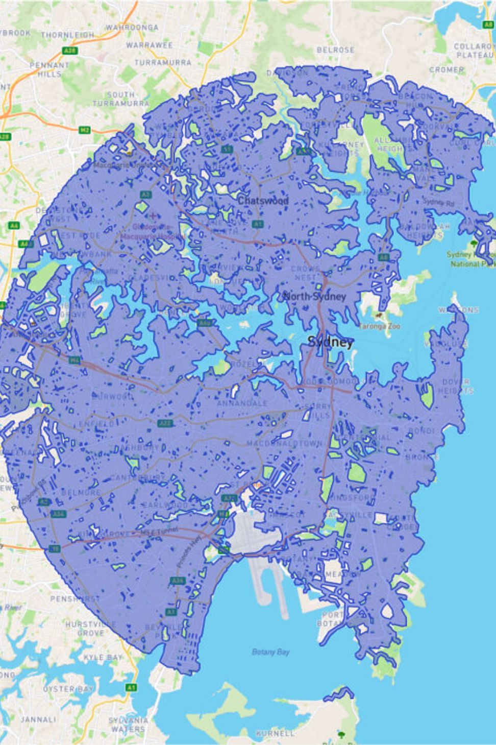
Additionally, with more than 1,300km² of 3D Streetscape Point Cloud data available in our database across Melbourne, Sydney and Brisbane, it’s readily available for download and kept affordable. Combine and export it for use in all major architectural software, including Autodesk, Archicad, Vectorworks, SketchUp, Bentley & Rhinoceros.
Streetscape is a convenient and efficient way to obtain detailed front facades and features from the street, making it a valuable tool for those in the architectural, authority, engineering, building, trades, and property development fields.
Add 3D Streetscape data to your project. It's the perfect way to streamline your workflows and make sure you put the best quote forward to win the job and impress your clients!
Do you have a current project in mind?
Speak to one of our Customer Solutions Team and book in a demo of the LARKI app - https://larki.com.au/contact-us#book-a-demo

Like this Project?
Hire LARKI 3D Land Surveys Online
Professional Reviews
Professionals used in
this project
The practices and trades credited on this project.

More projects from
LARKI 3D Land Surveys Online
Other work by LARKI 3D Land Surveys Online, across every category they build in.


More in
Renders
Everything else in Renders, from every practice on ArchiPro.

Next Project
Keep scrolling