About
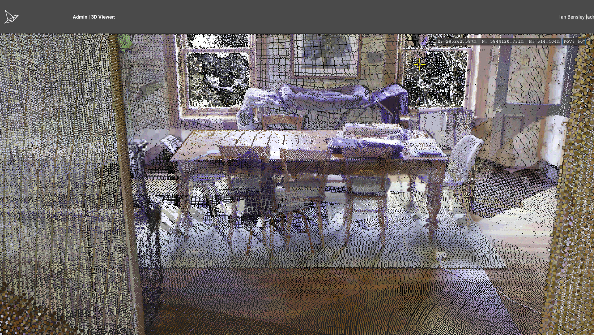
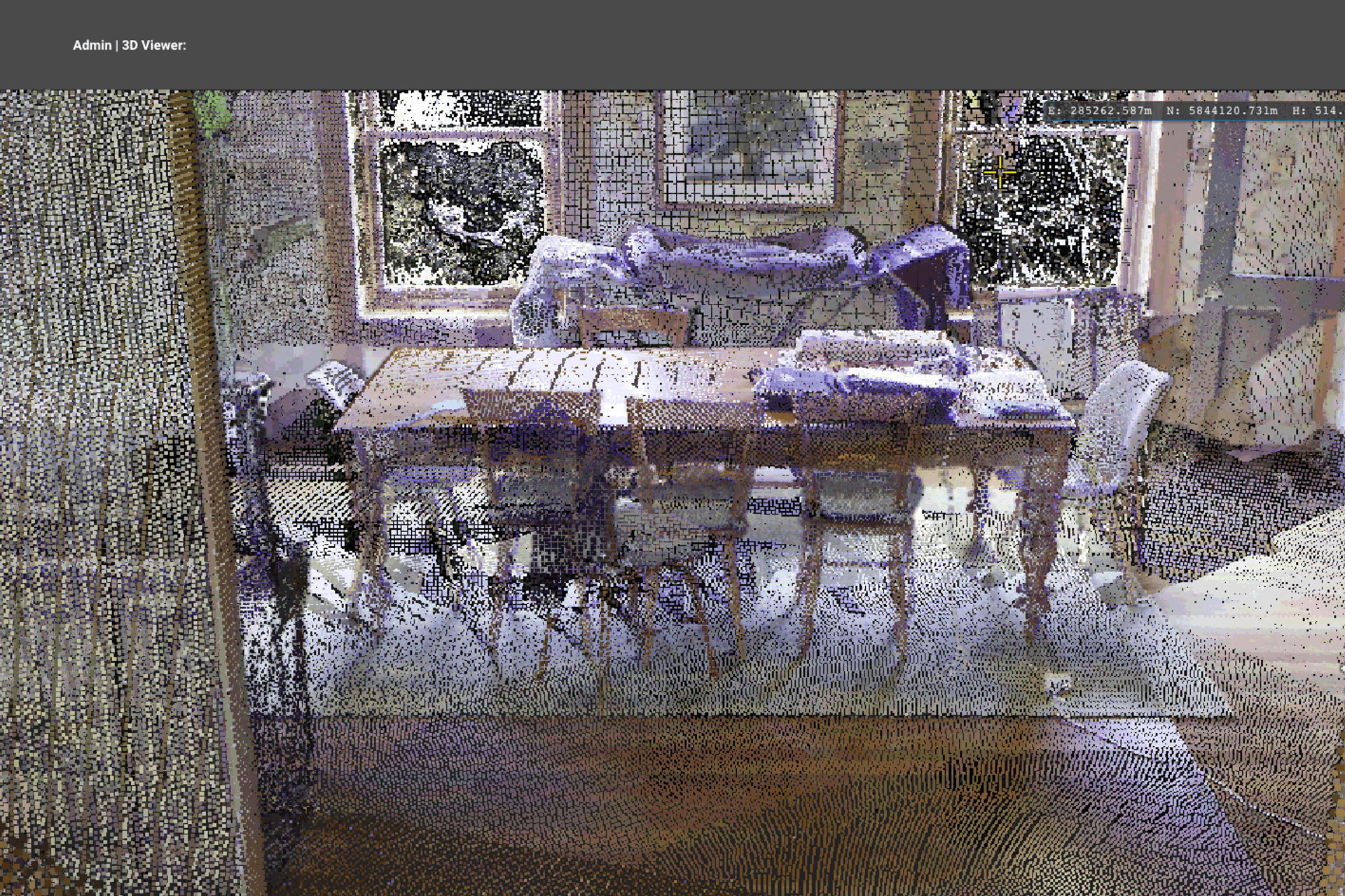
3D Tripod Interior Cloud.
ArchiPro Project Summary - High-resolution 3D Tripod Point Cloud data for interior spaces, optimised for architectural design, providing precise measurements and context for effective design solutions.
- Title:
- 3D Tripod Point Cloud – Interior
- Land Surveyor:
- LARKI 3D Land Surveys Online
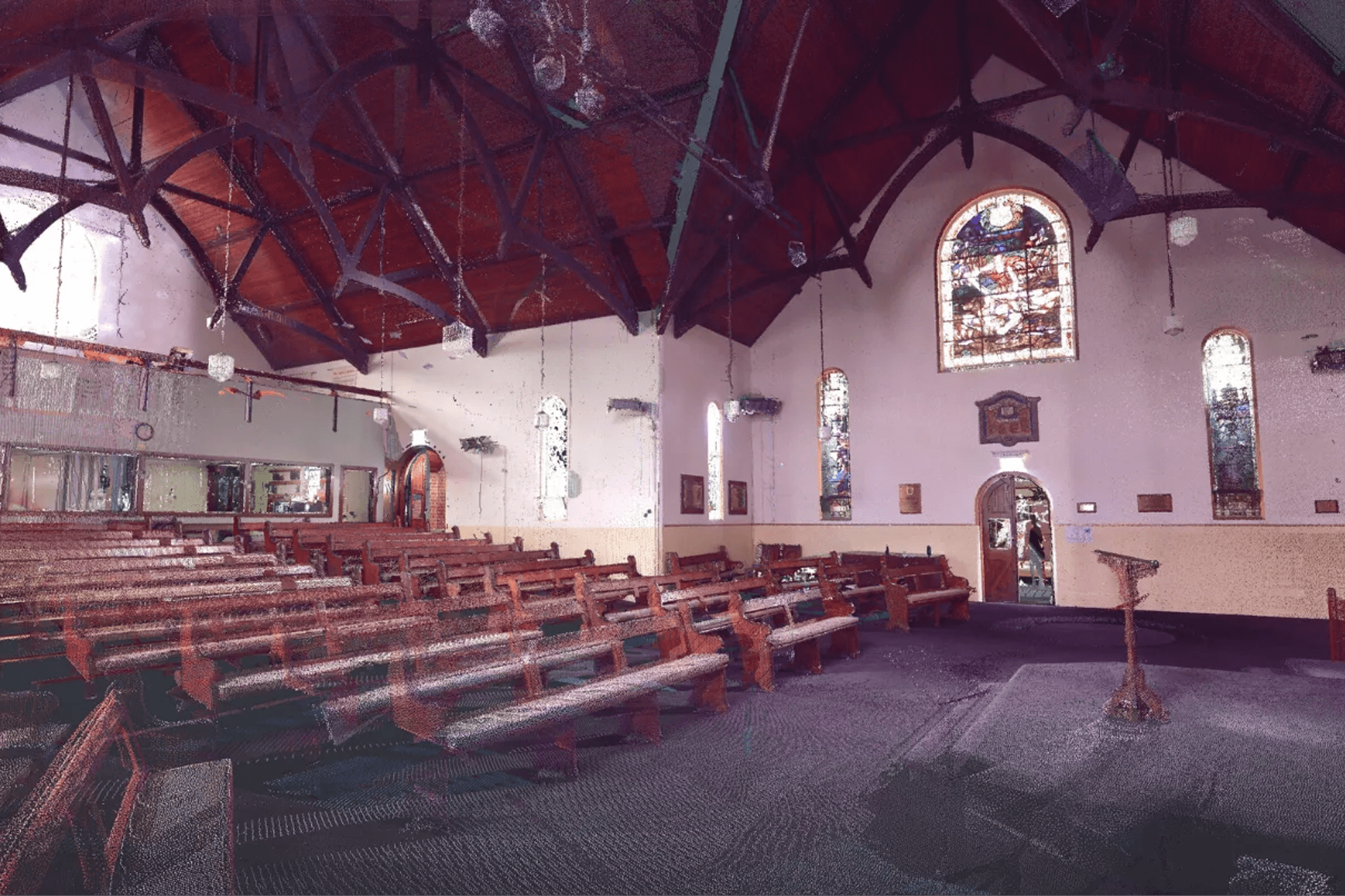
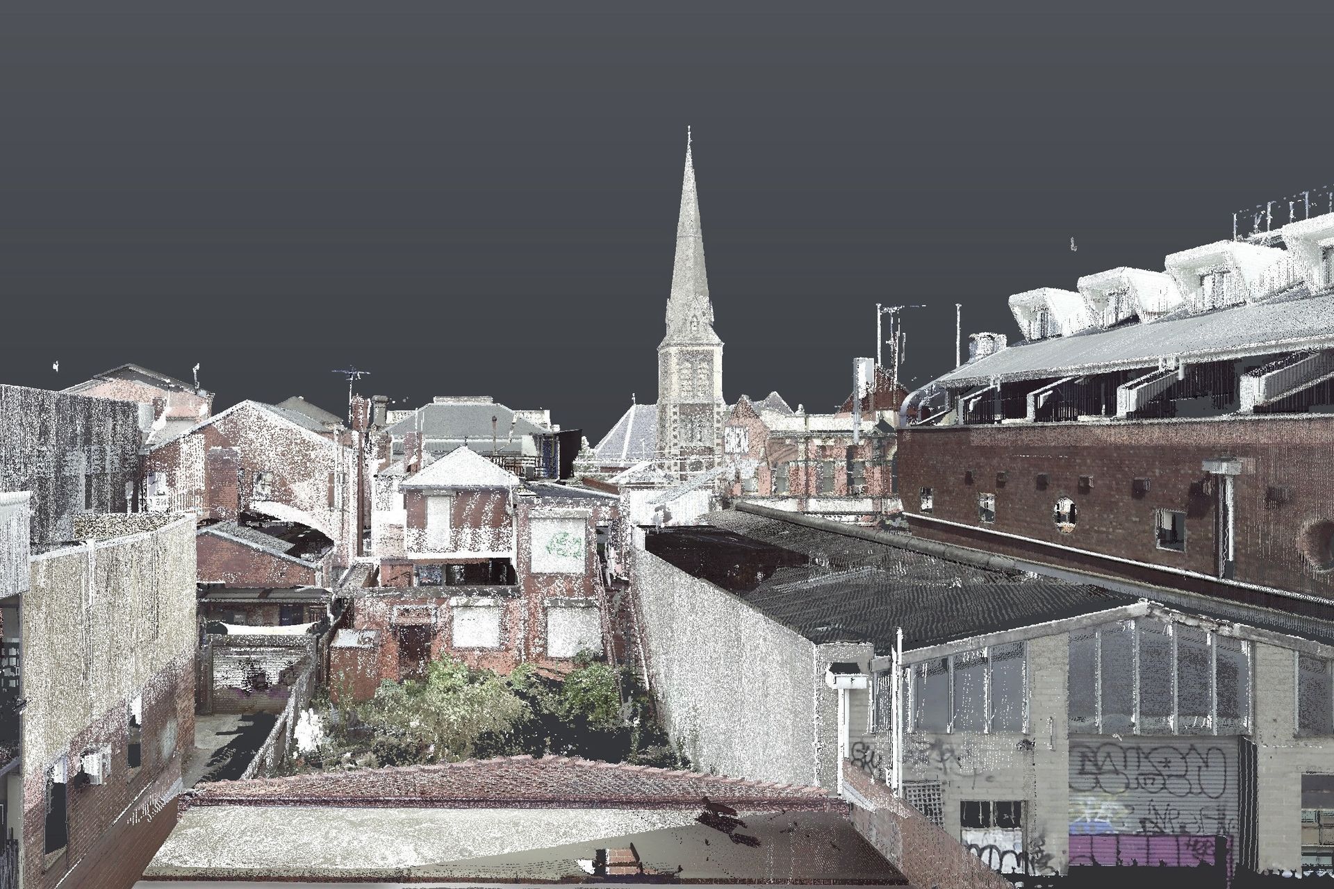
Project Gallery

Inspired by this project?Visit LARKI 3D Land Surveys Online

LARKI 3D Land Surveys Online
Land Surveyors
Sydney, City of Sydney, New South Wales
(+1 More)
LARKI 3D Land Surveys Online. Empowering architects, property developers and other built-environment stakeholders to create well-fitted, environmental and affordable buildings through cutting-edge 3D and AI technology.LARKI aggregates 3D laser scan data (LiDAR) captured from planes, cars, drones and tripods. Then rapidly converts to 3D architectural models (BIM).LARKI supplies 3D laser scanned point clouds of streets and neighbourhoods via an online Platform with a 3D Viewer (SaaS), for professionals who need to do site measurements remotely and fast.Compared to traditional 2D land surveys, LARKI’s 3D Surveys are up to:
300,000 x better resolution,
8 x better value, and
700 x faster to acquire.
Saving architects, property owners and property developers weeks and thousands of dollars off their projects.
LARKI makes 3D surveys great value, quick and easy; so that getting approved architectural designs can be affordable, quick and easy; so that great built architecture can be affordable, quick and easy.
Year Joined
2023
Established presence on ArchiPro.
Projects Listed
5
A portfolio of work to explore.
LARKI 3D Land Surveys Online.
Profile
Projects
Contact


