

Project team
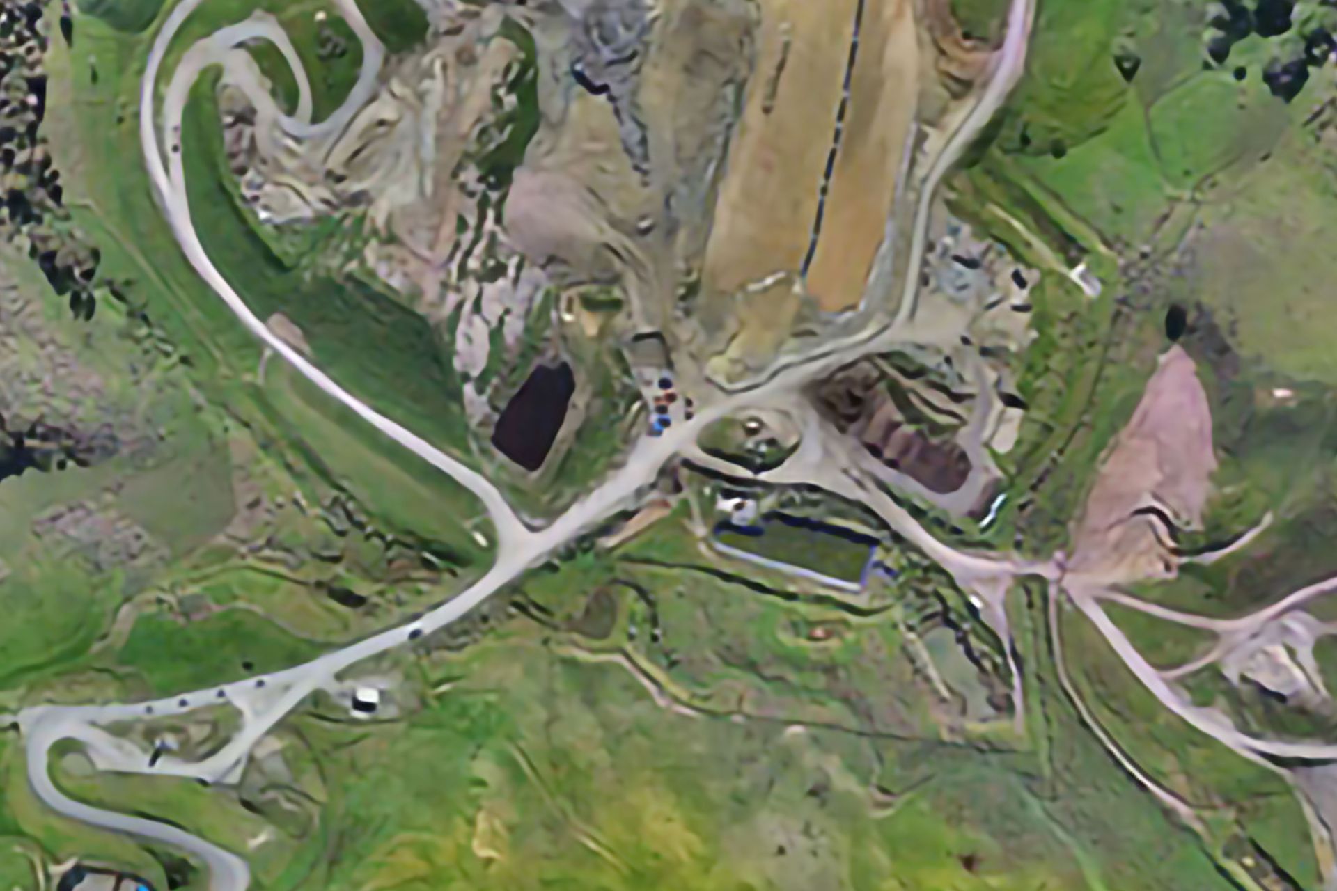
Efficient topographical surveys at Puwera Landfill, Whangarei, utilizing DJI UAV technology for challenging terrains, ensuring cost-effectiveness and precision in data collection.
Project: Reyburn and Bryant conducts regular topographical surveys using a DJI Unmanned Aerial Vehicle (UAV). The use of an UAV for surveying sites that involve difficult terrain make for a cost effective and efficient solution for the client.
3950h 26m
Like this Project?
Hire Reyburn & Bryant
Professional Reviews
1 / 3
Professionals used in
this project
The practices and trades credited on this project.

More projects from
Reyburn & Bryant
Other work by Reyburn & Bryant, across every category they build in.


More in
Urban Design
Everything else in Urban Design, from every practice on ArchiPro.


Next Project
Keep scrolling