
About
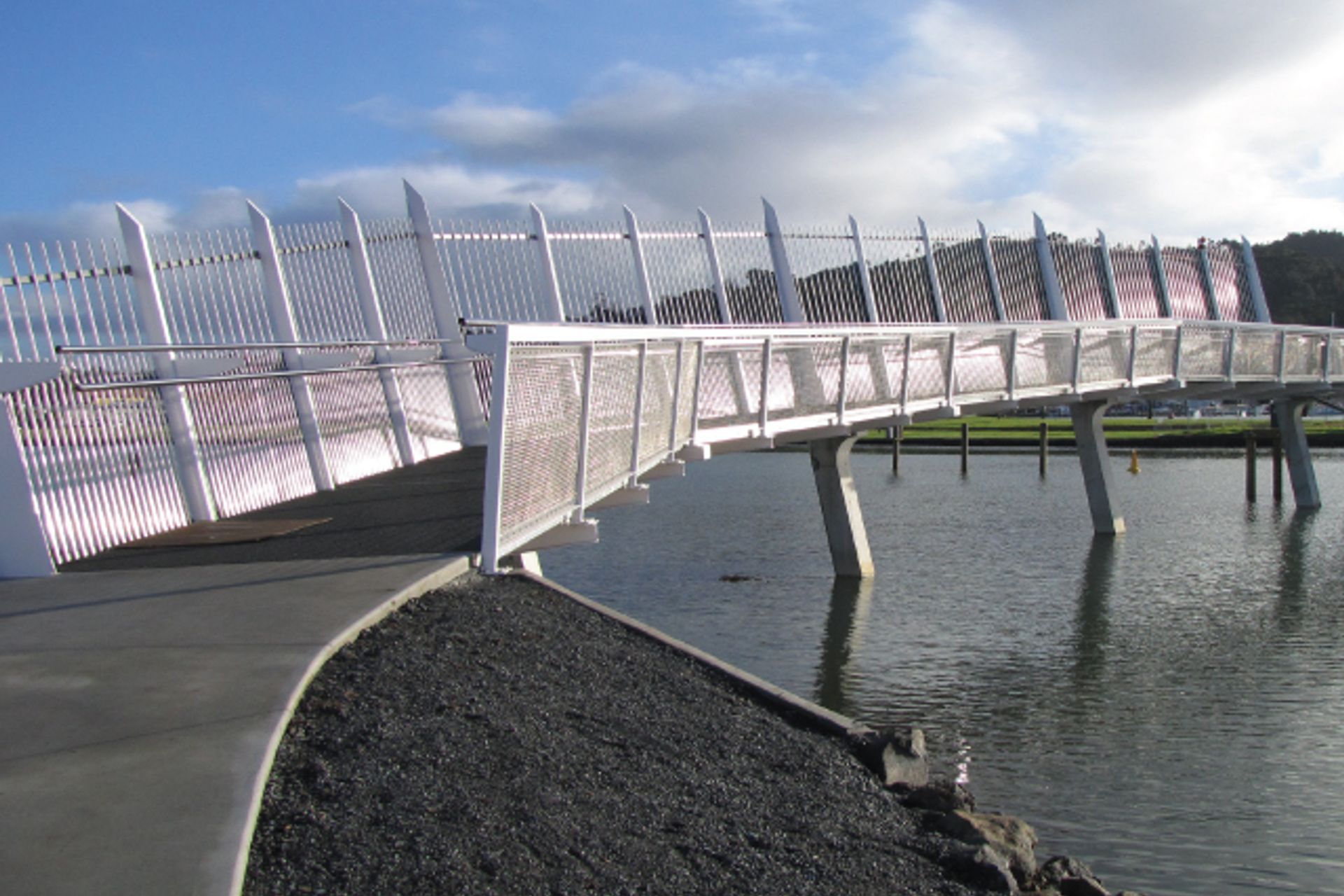
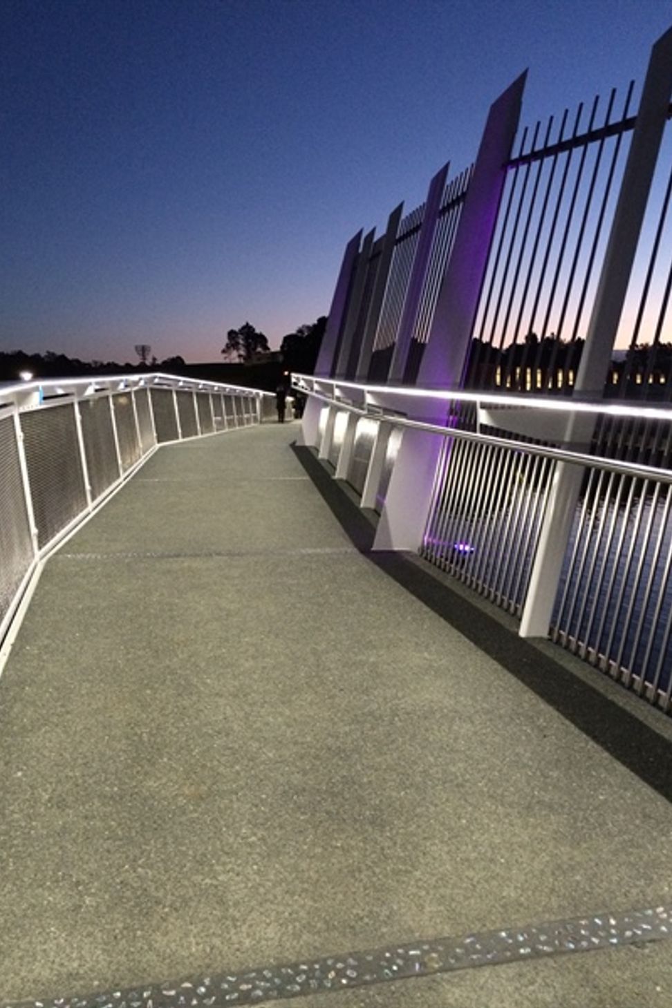
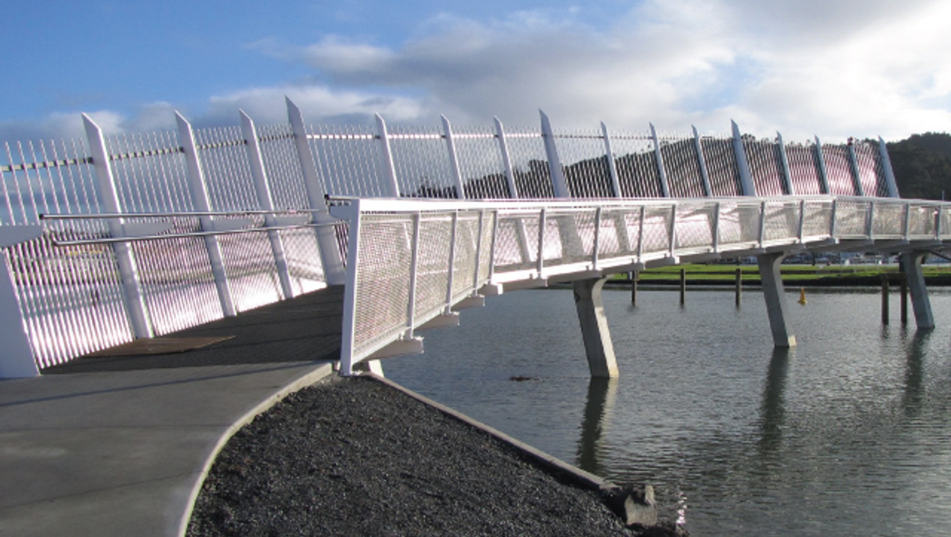
Hatea Loop Whangarei.
ArchiPro Project Summary - Development of the Hatea Loop walkway and associated features including Te Matau a Pohe, canopy bridge, pocket park, Kotuitui Whitinga pedestrian bridge, and heritage trail, with resource consent management by Reyburn and Bryant for Whangarei District Council.
- Title:
- The Hatea Loop and associated projects, Whangarei
- Land Surveyor:
- Reyburn & Bryant
- Category:
- Community/
- Transportation
Project Gallery
Views and Engagement
Inspired by this project?Visit Reyburn & Bryant
Professionals used

Reyburn & Bryant. Proud Northland Based Planners & Surveyors.
Reyburn and Bryant are a long-established Northland based Planning and Surveying firm servicing from Auckland through to Kaitaia including Orewa, Warkworth, Wellsford, Mangawhai, Whangarei, Paihia, Russell and Kerikeri.
Our young and enthusiastic team specialise in surveying, planning, civil engineering, land development, resource consents and project management. We service a wide range of high-calibre private and public sector clients and are routinely involved in exciting projects.
The company was founded in 1965 by the original directors David Reyburn and Selwyn Bryant. The current directors have been in partnership since 2005 and since then business has grown exponentially.
Reyburn and Bryant are leaders in their field utilising state of the art technology, including an Unmanned Aerial Vehicle (UAV) and modern GPS systems. The UAV is a cost effective solution that provides accurate survey data allowing for challenging terrain to be surveyed with ease.
Our staff are also members of the New Zealand Institute of Surveyors (NZIS) and New Zealand Planning Institute (NZPI).
Reyburn and Bryant aim to keep processes simple and work closely with our clients to obtain the outcome they desire.
Year Joined
2021
Established presence on ArchiPro.
Projects Listed
23
A portfolio of work to explore.
Reyburn & Bryant.
Profile
Projects
Contact
Project Portfolio


Other People also viewed


Why ArchiPro?
No more endless searching -
Everything you need, all in one place.Real projects, real experts -
Work with vetted architects, designers, and suppliers.Designed for New Zealand -
Projects, products, and professionals that meet local standards.From inspiration to reality -
Find your style and connect with the experts behind it.Start your Project
Start your project with a free account to unlock features designed to help you simplify your building project.
Learn MoreBecome a Pro
Showcase your business on ArchiPro and join industry leading brands showcasing their products and expertise.
Learn More